Displaying GPS Accuracy on Coverage Map
PC10857WP-UN-02JUN10
GPS accuracy can be displayed on the ‘Coverage only’ map for the operator to know where Coverage was recorded with less than high-level repeatable accuracy. GreenStar applications are not only dependant on good GPS signal quality at the time of operation, but also on the GPS signal quality at the time the adjacent Coverage Map, Guidance Line, or Boundary was recorded.
This feature is useful only for SF2 signal type and operations requiring high-level repeatable accuracy such as AutoTrac or Swath Control for row crop planting and strip-till operations.
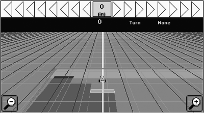
Turn on the feature in Map Settings by checking the box for GPS Accuracy. The Coverage map will paint Orange whenever the StarFire GPS Accuracy Indicator is Red or Orange. Overlapping Coverage will paint dark blue regardless of GPS accuracy. View the GPS Accuracy level in the Guidance View softkey or on the Map View softkey with the Coverage map set to ‘Foreground’.
When running operations that require high repeatable accuracy and the current OR adjacent Coverage map is Orange, it is recommended to watch the implement closely and manually override GreenStar applications when necessary.
|
BA31779,0000183-19-20110429 |